![]()
Date & Time : 14/03/2025 7:22 pm

![]()
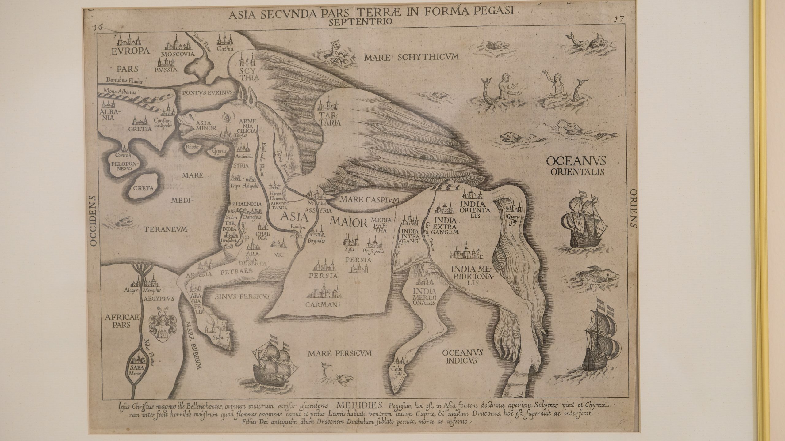
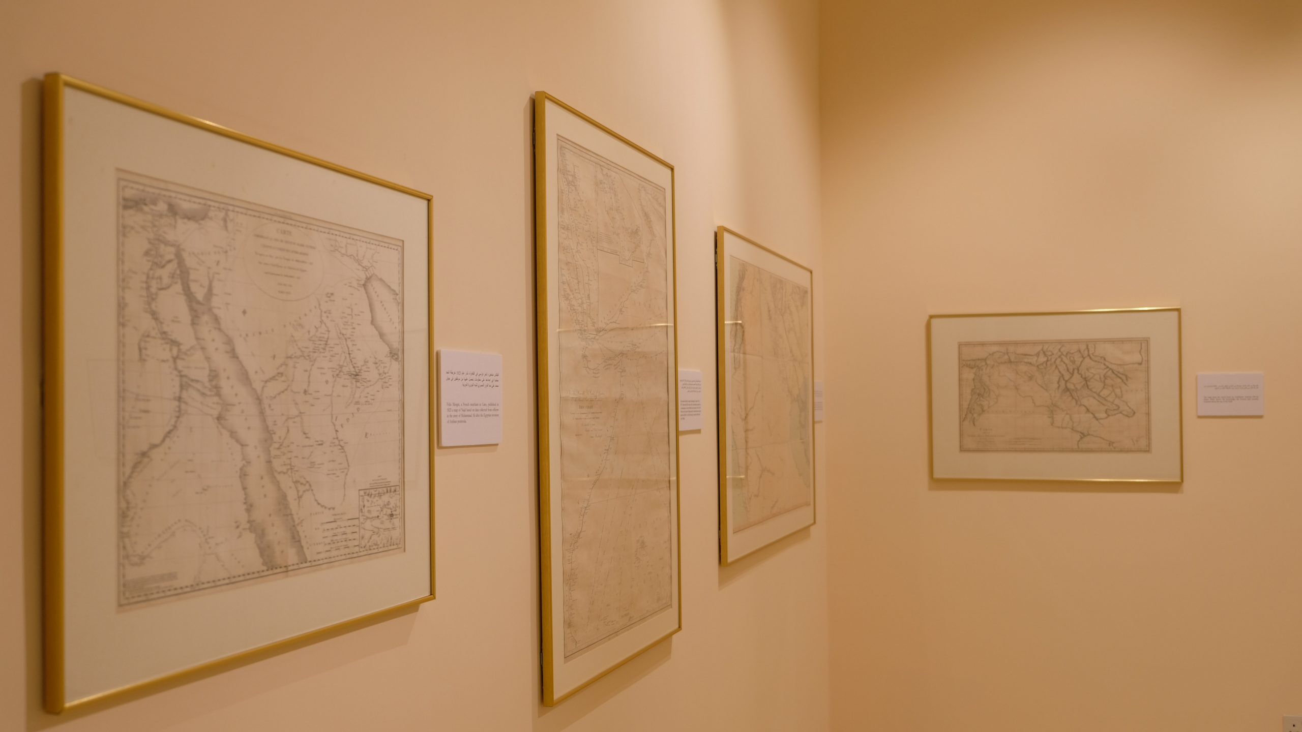
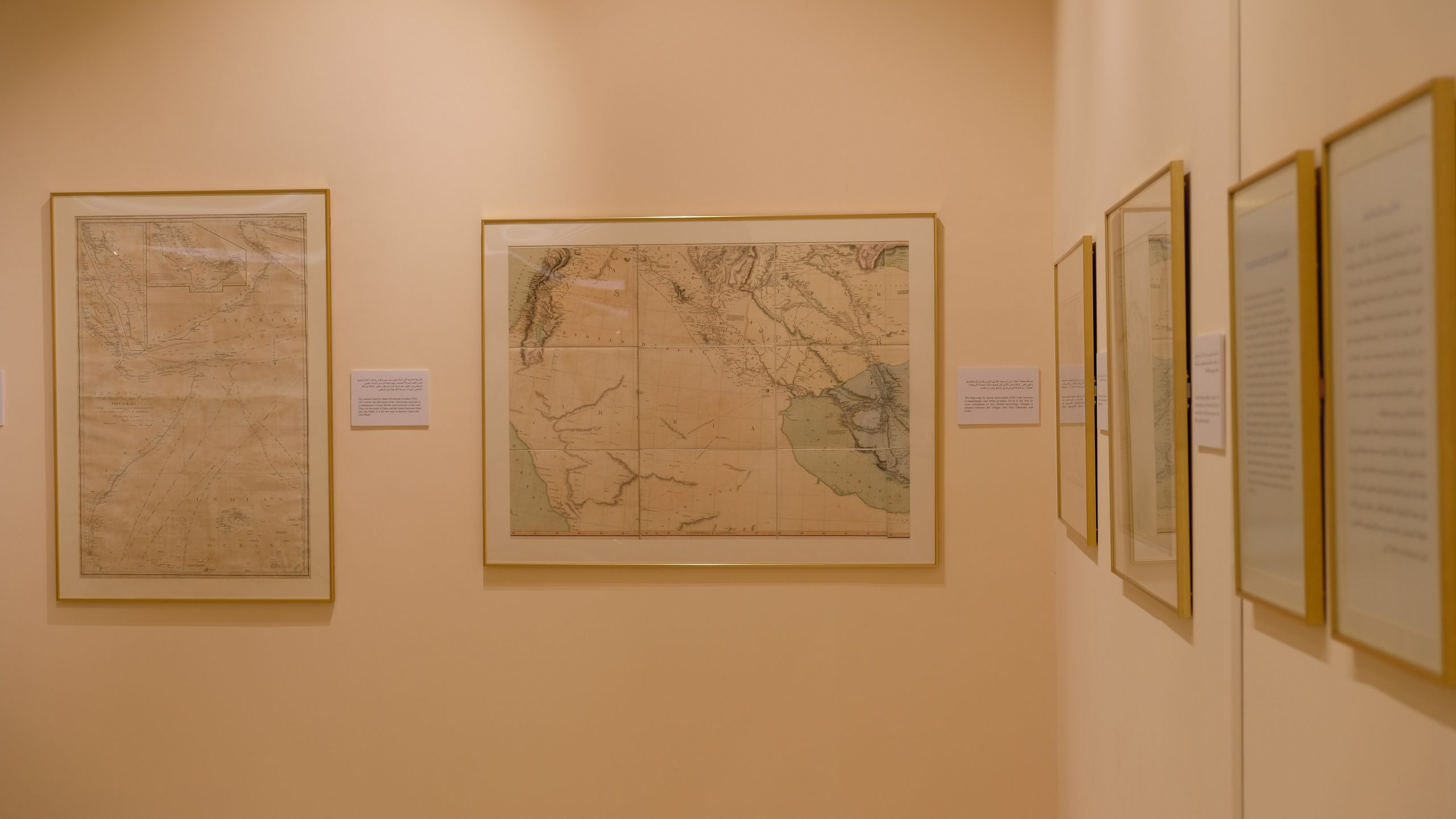
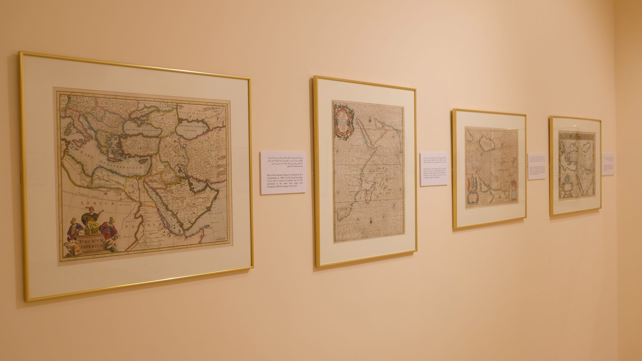
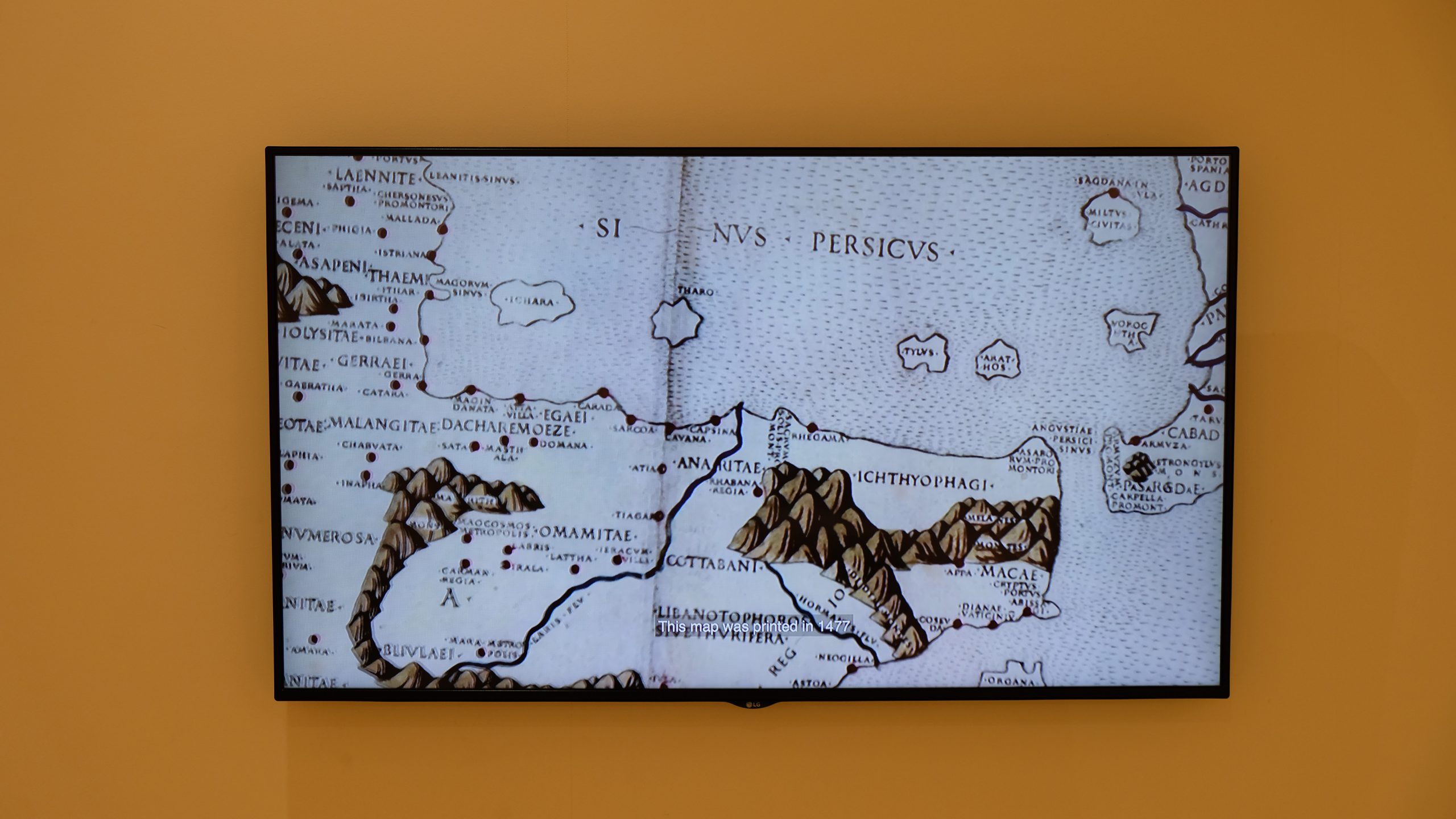
 This exhibition reflects he evolution of human knowledge about the Gulf in early printed maps, starting with the Renaissance and following the growth of knowledge down to tire beginning of the systematic survey of tire inland area in tire early years of tire 20th century.
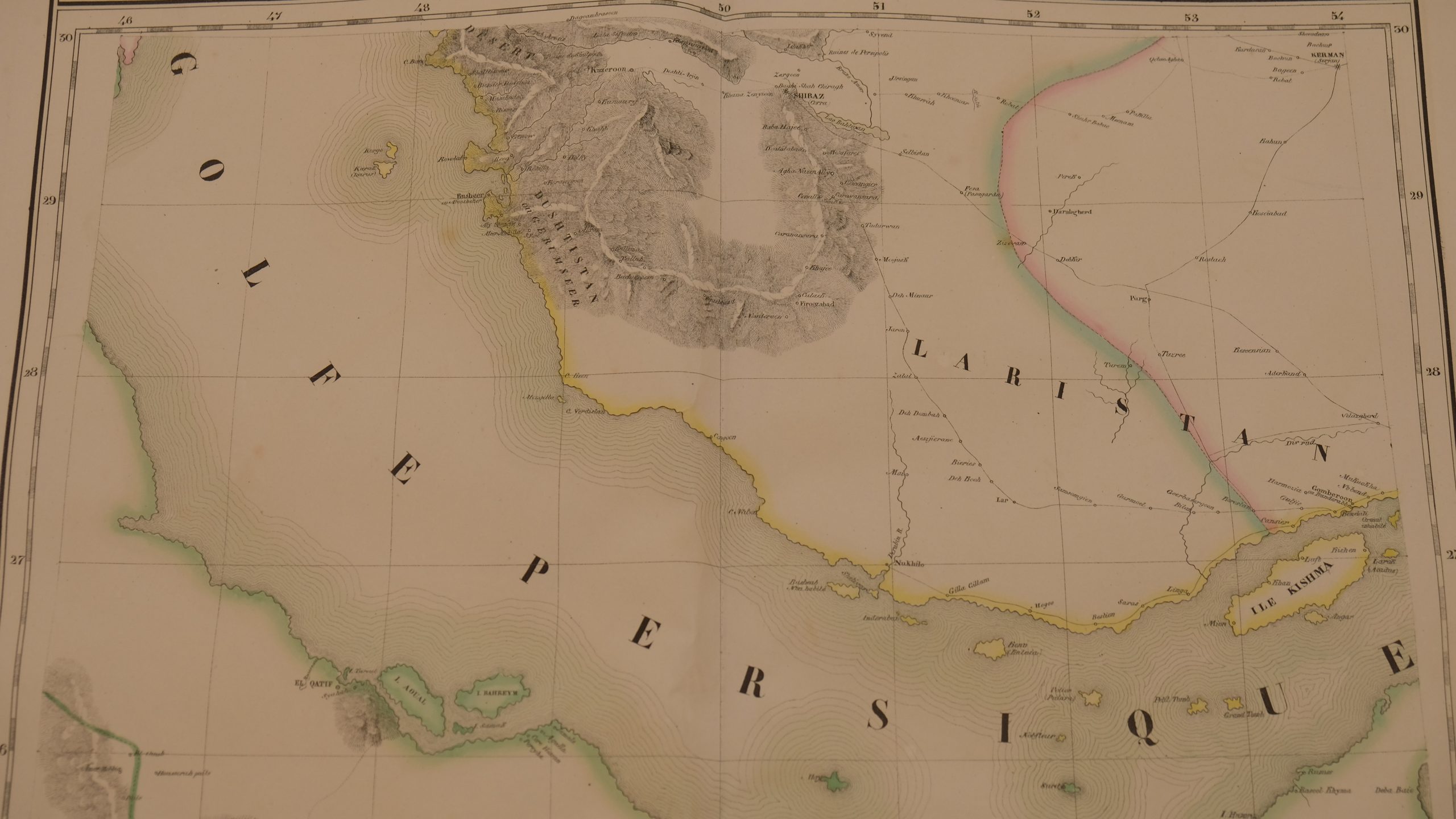
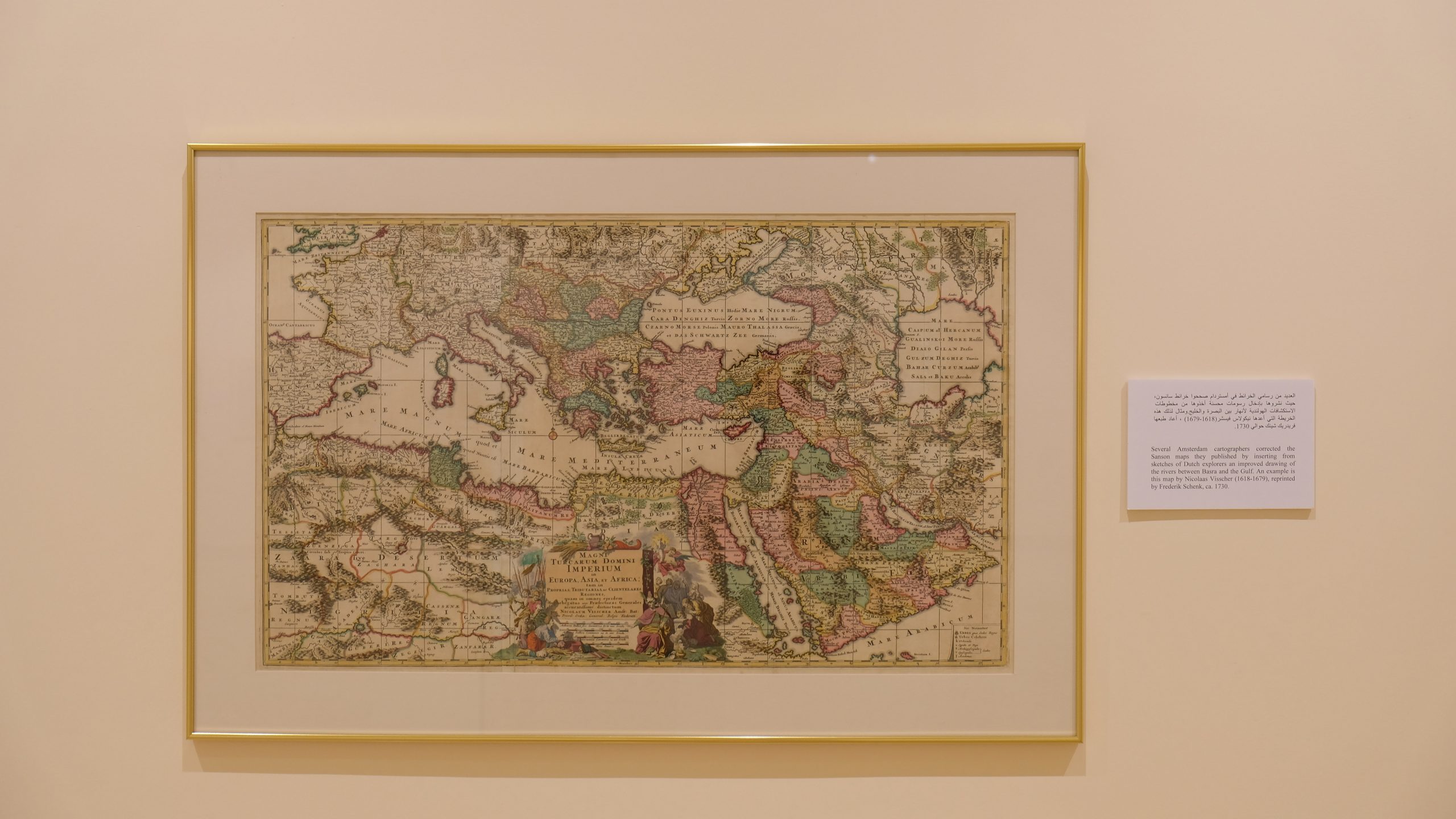
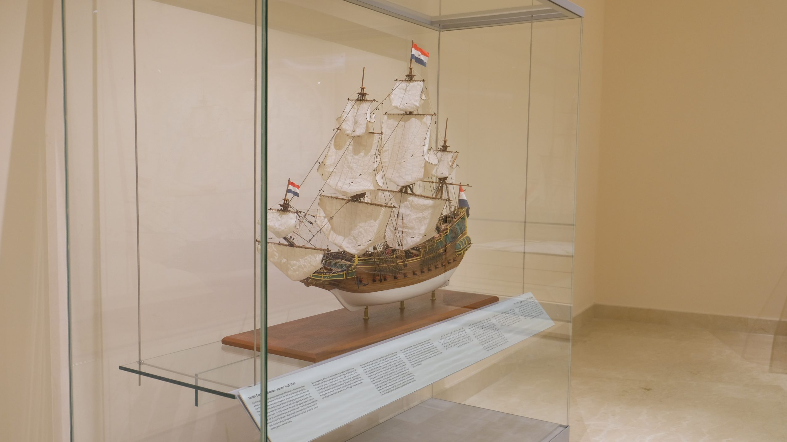
The increasing realism of the cartographic image matches the development of contacts between the Gulf and Europe, where the maps were made, as well as the technical improvements in printing methods and survey equipment.
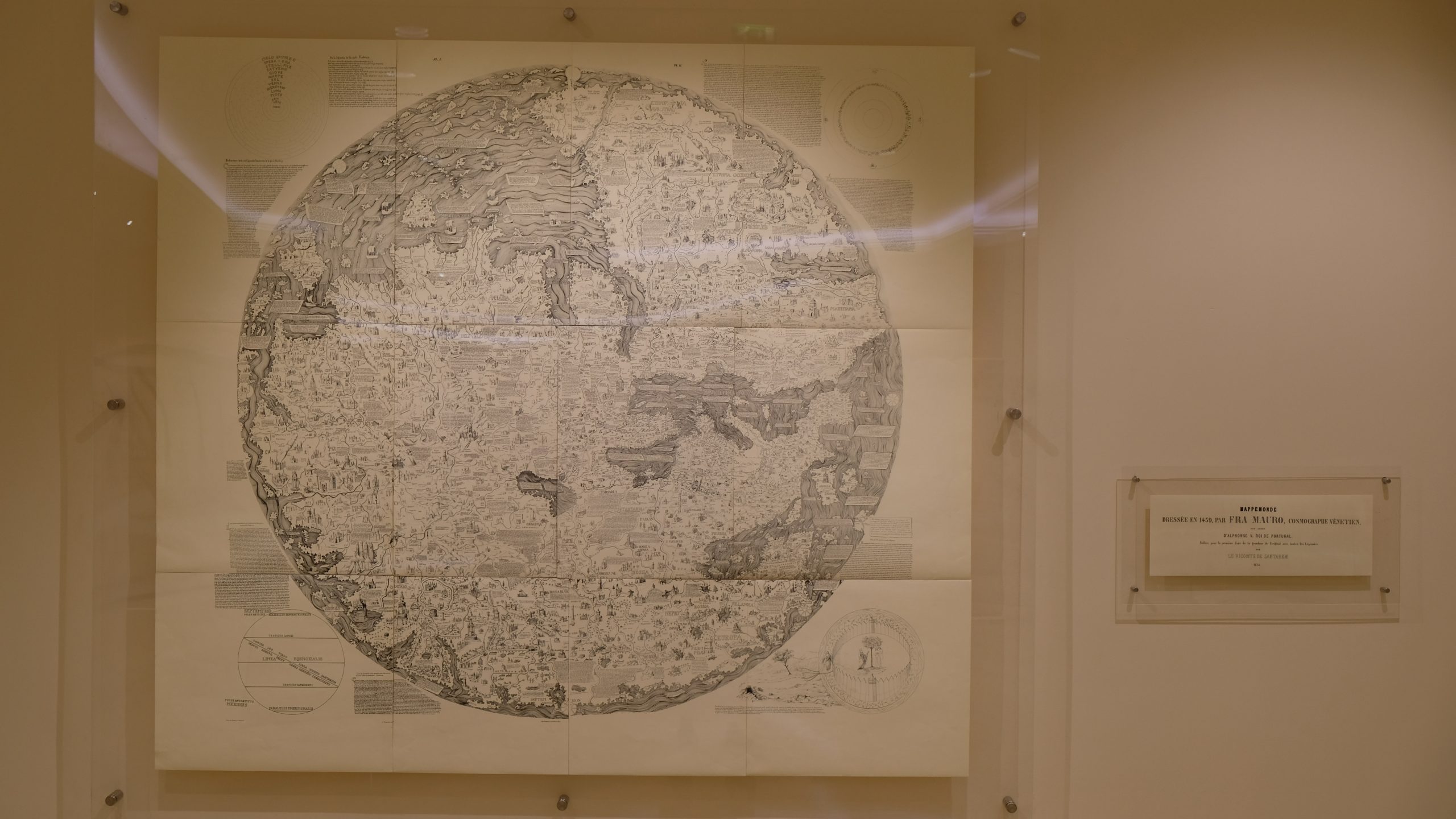
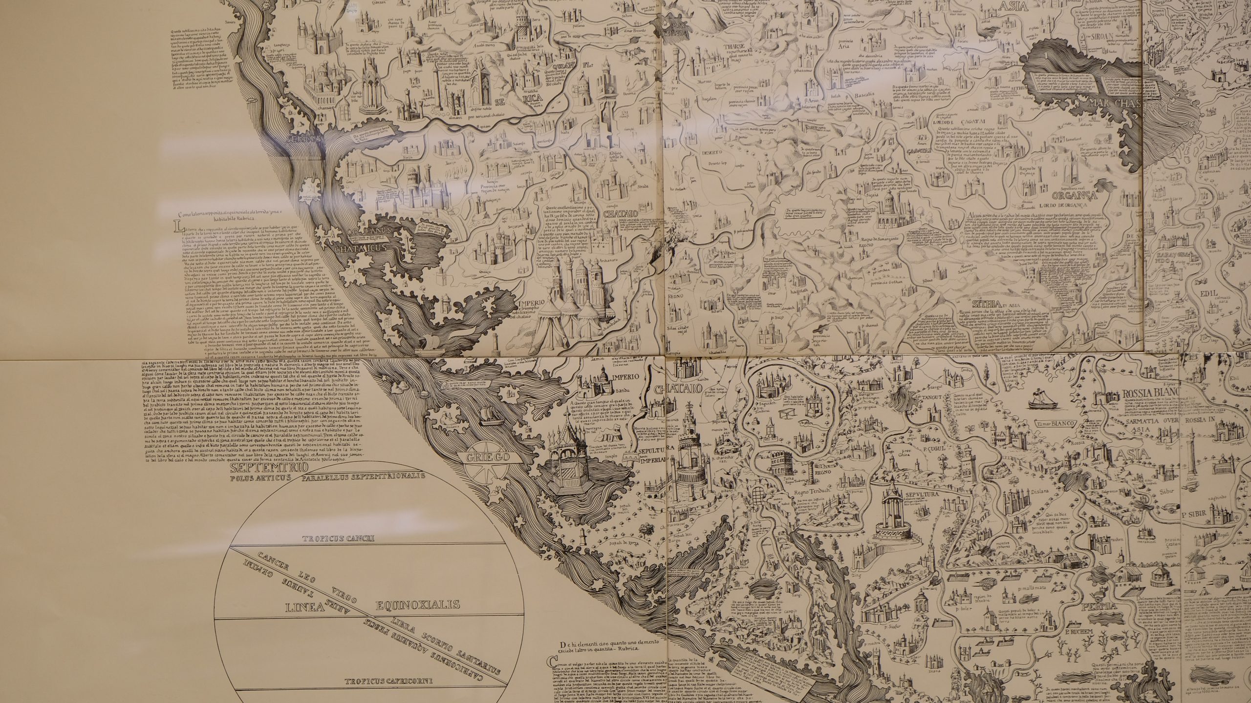
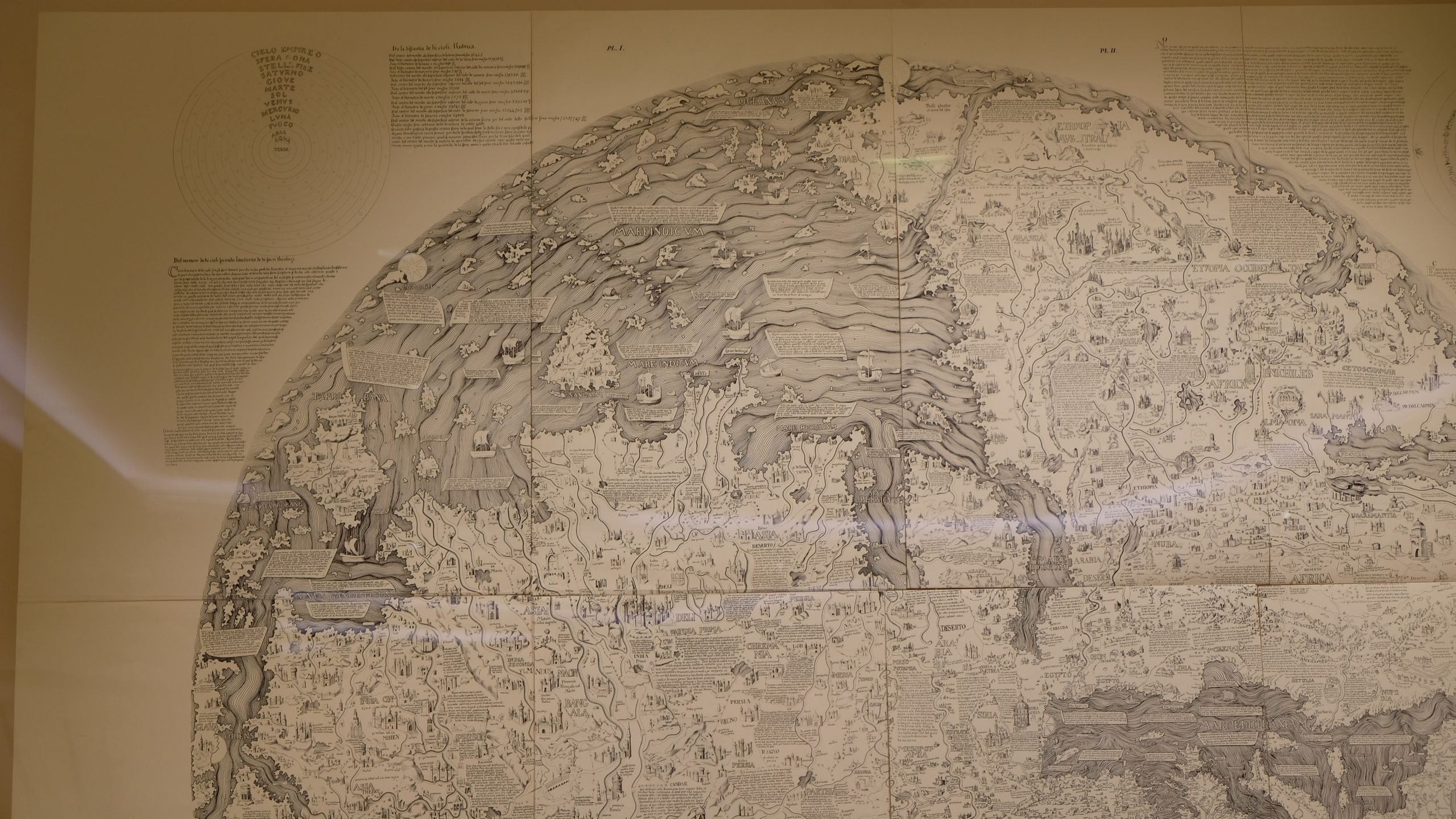
The present exhibition shows the changing image of the Gulf on printed maps from an uncertain tradition at the end of the 15th century to the geometric accuracy
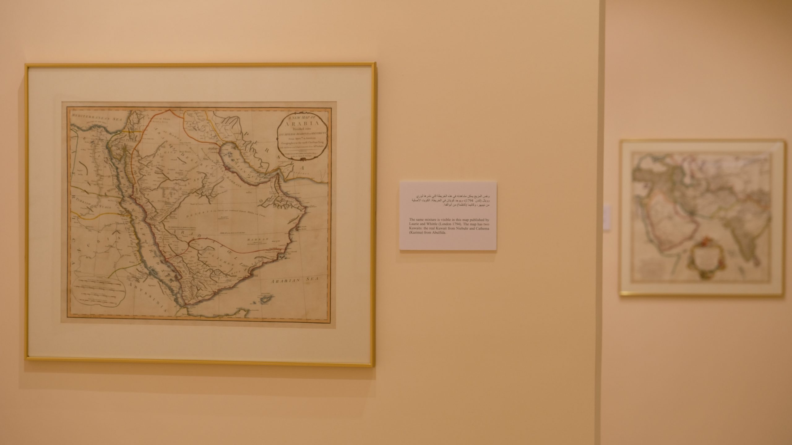
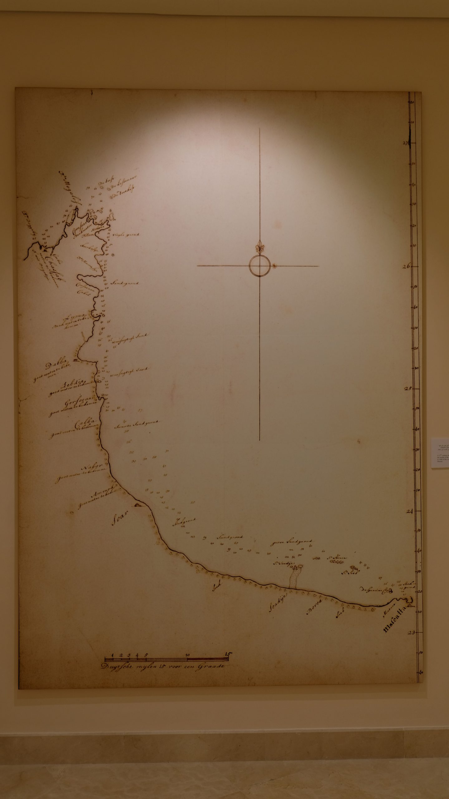
achieved in the 19th and early 20th centuries. The history of cartography of the Gulf in general is, however, sometimes different from the history of printed maps. During two centuries, the explorers often kept their new findings confidential, while printers were showing a great degree of conservatism and continuing to reproduce obsolescent maps. The result is that manuscript maps often show a development that runs far ahead of that of printed maps.
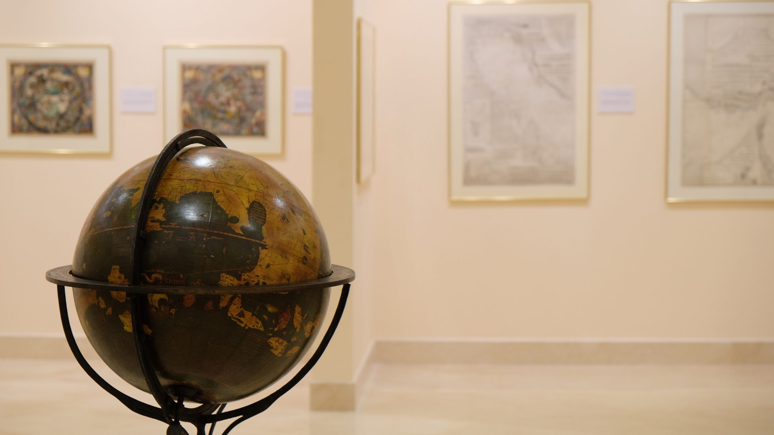
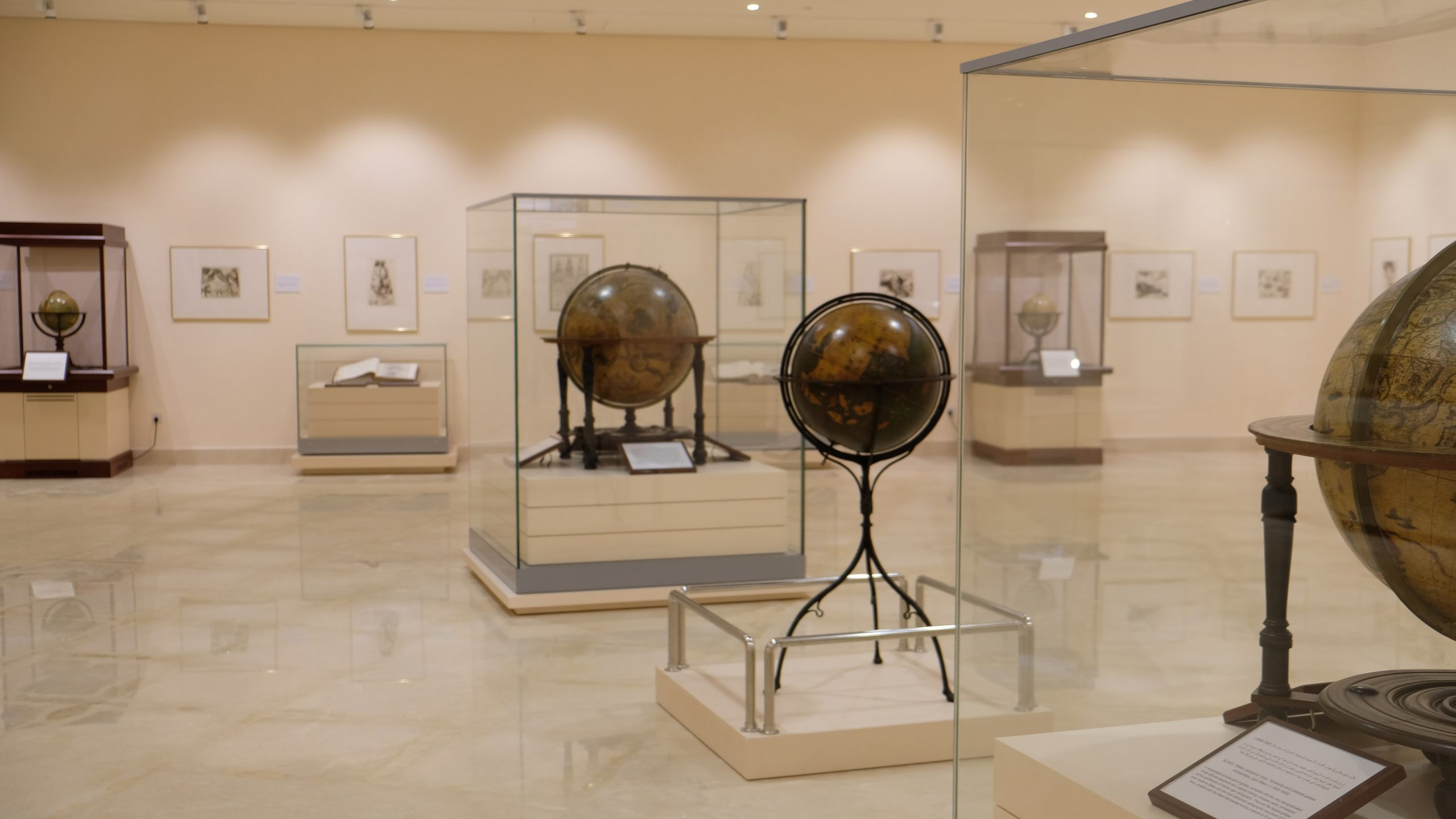
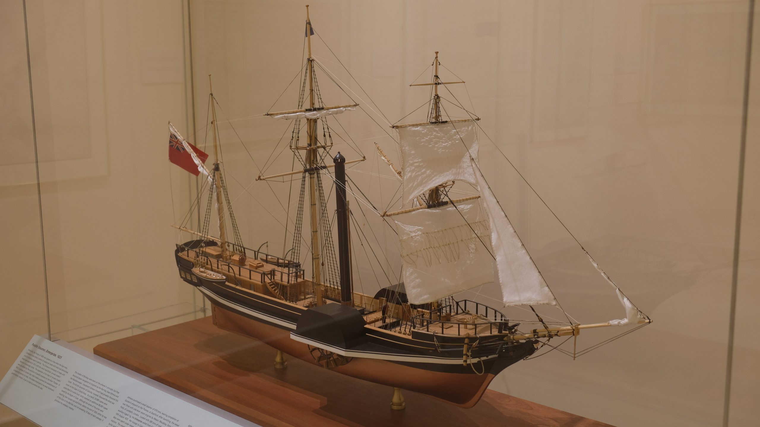
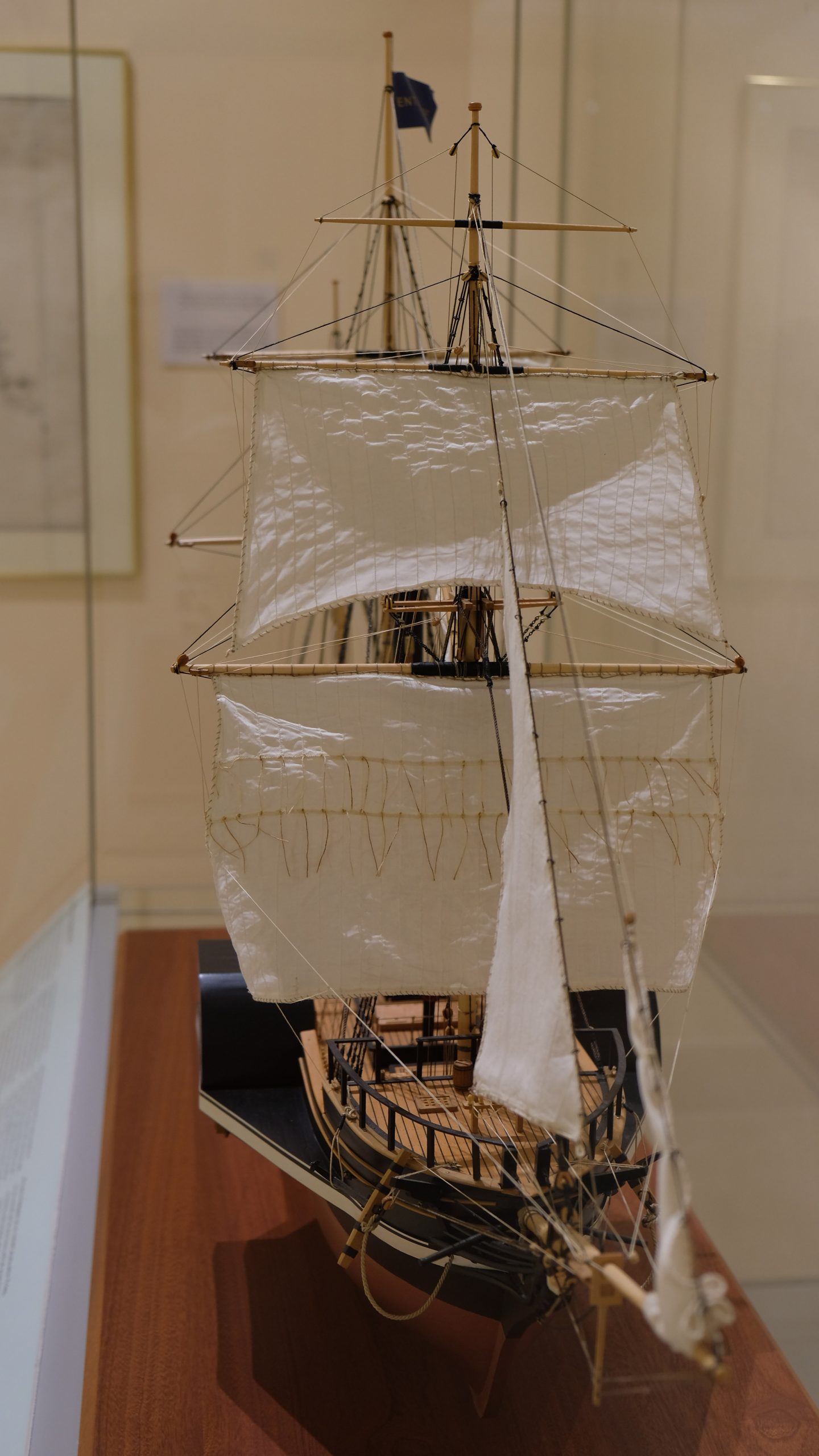
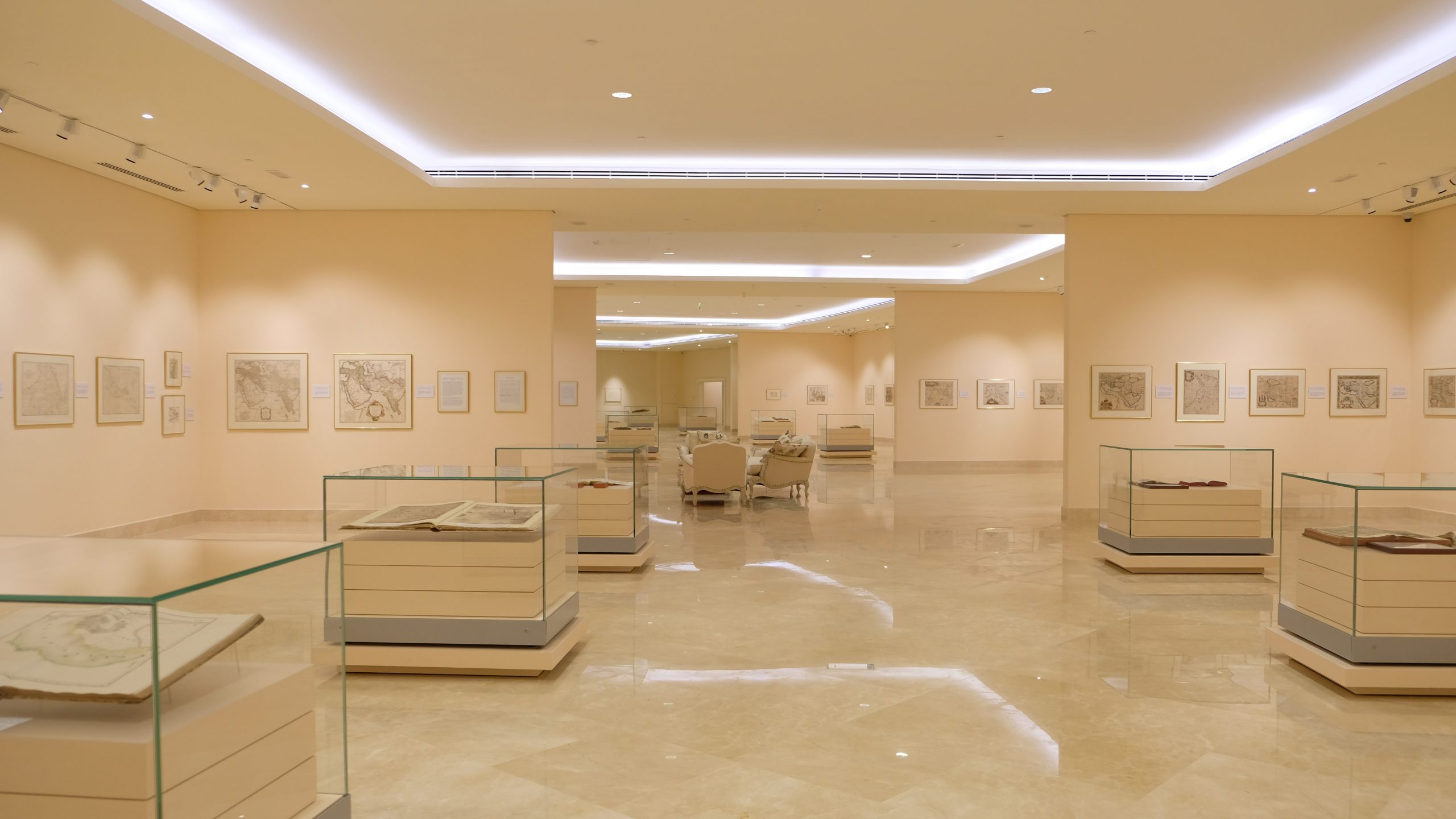
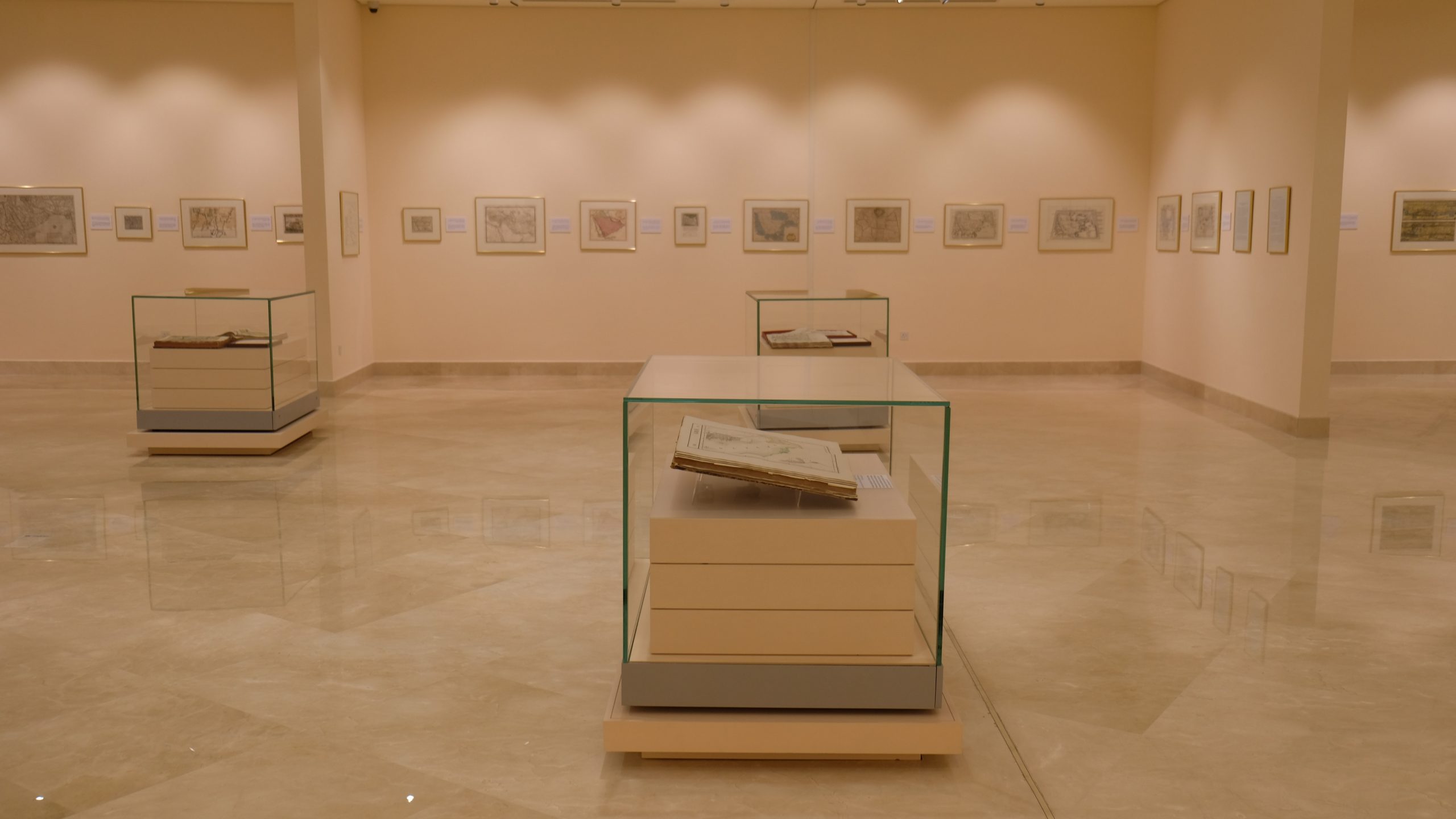
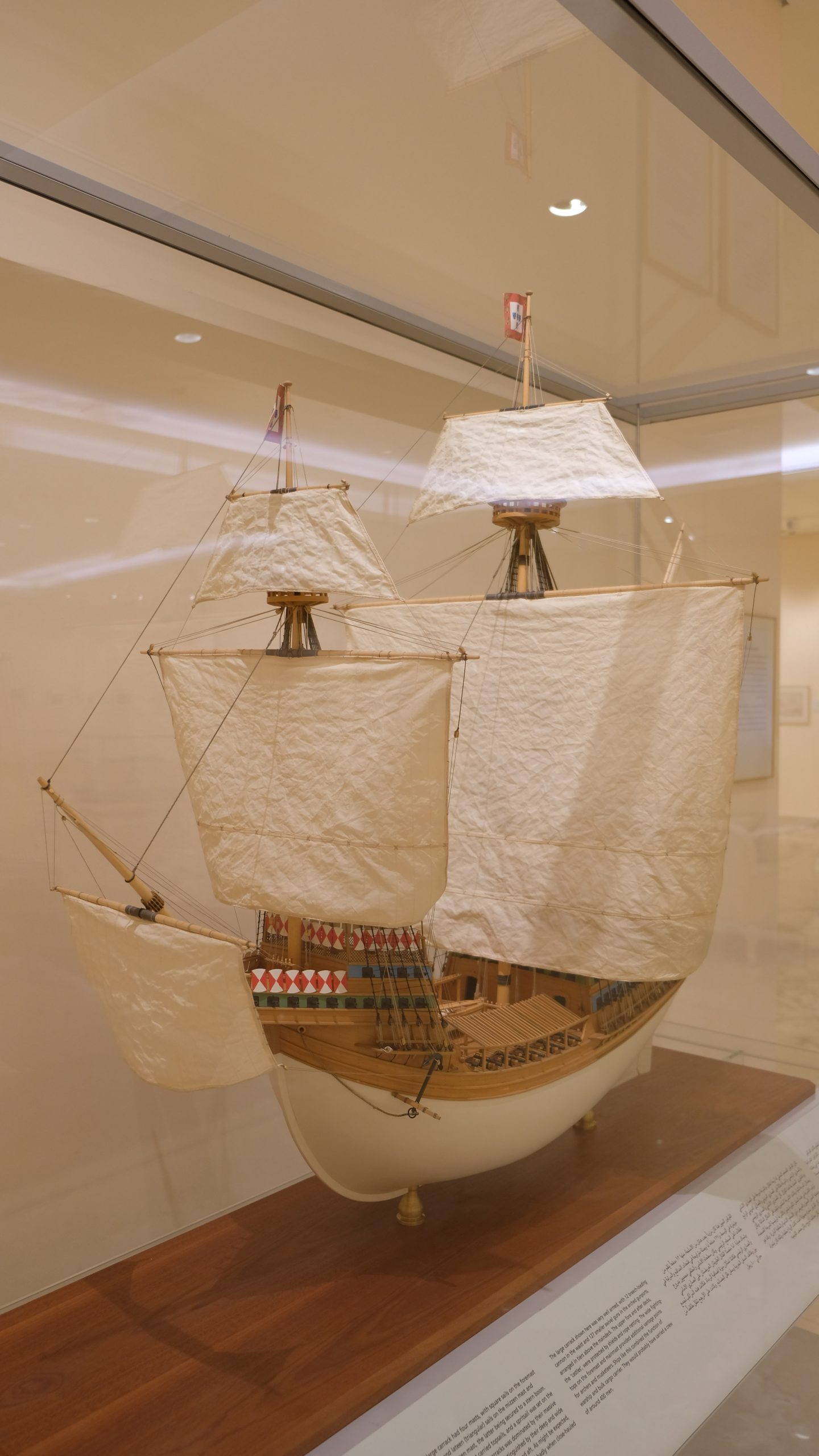
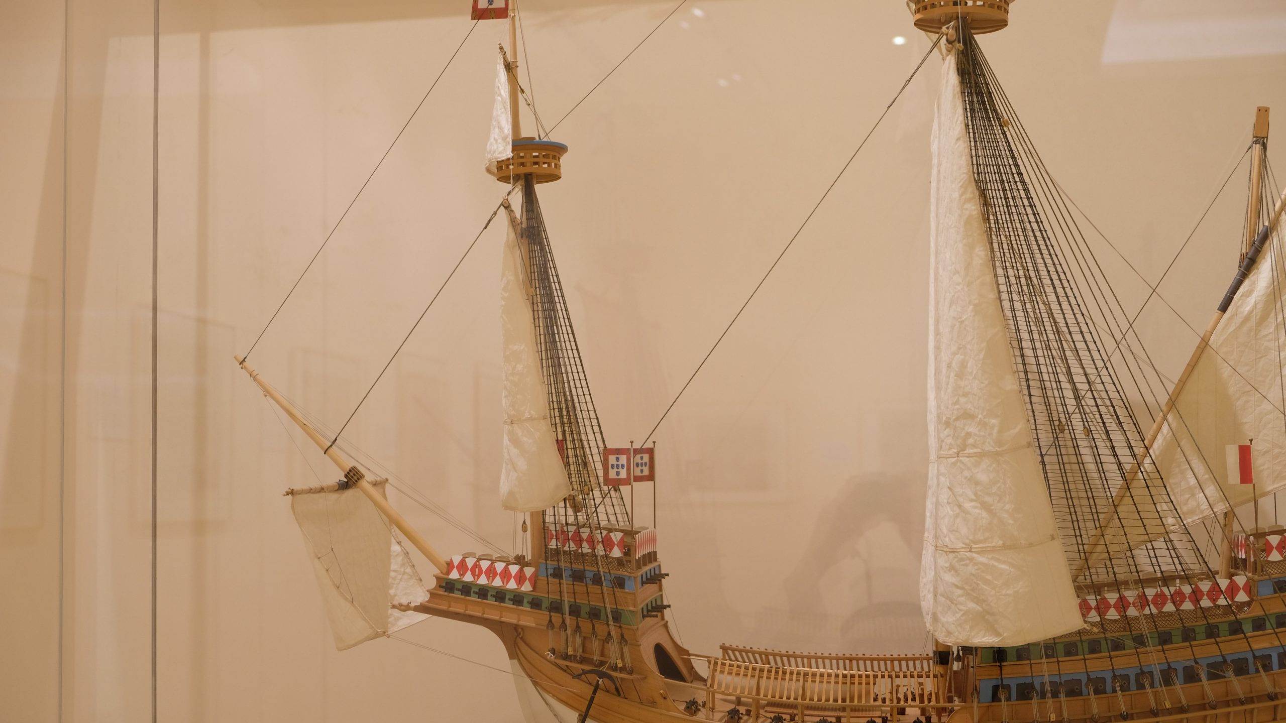
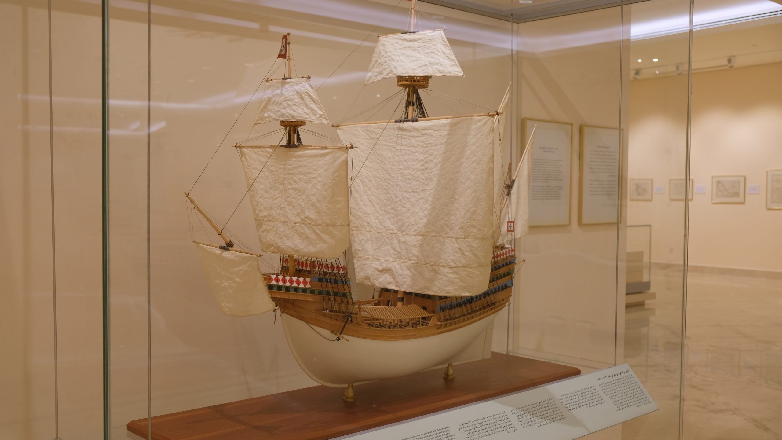
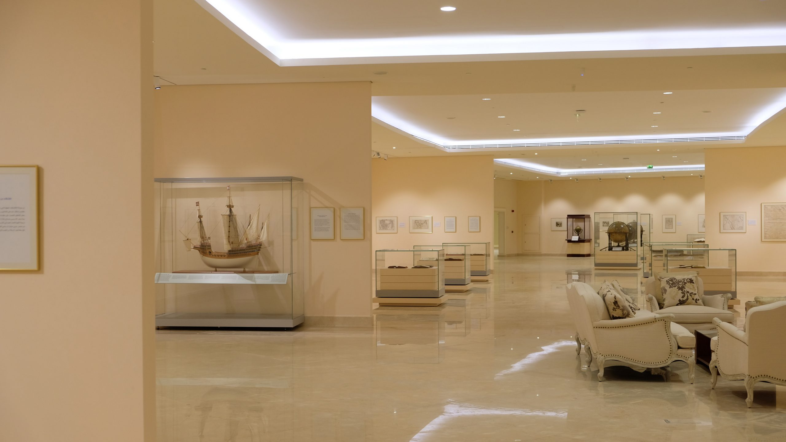
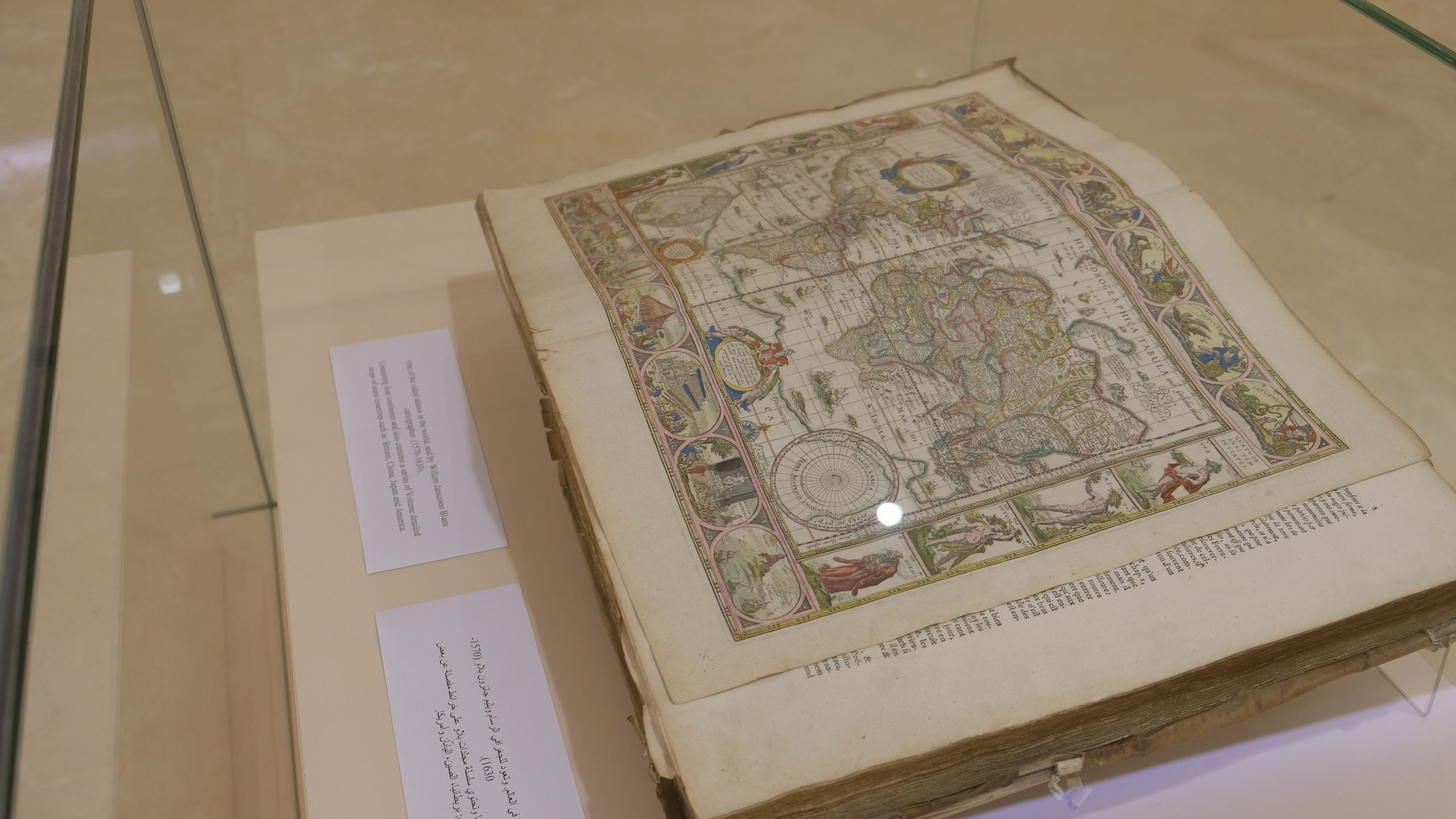
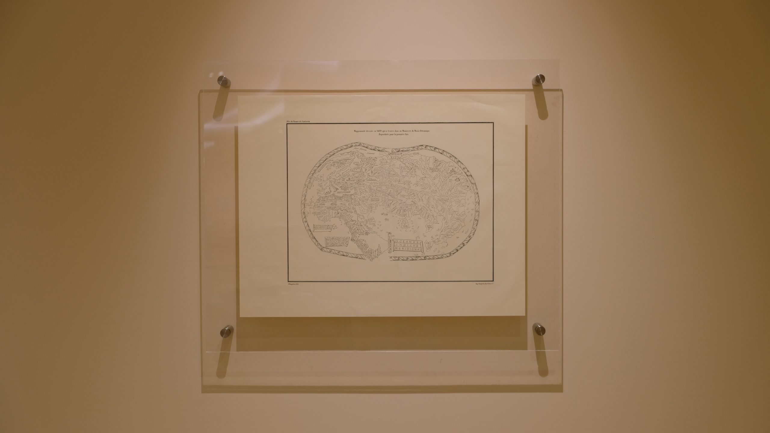
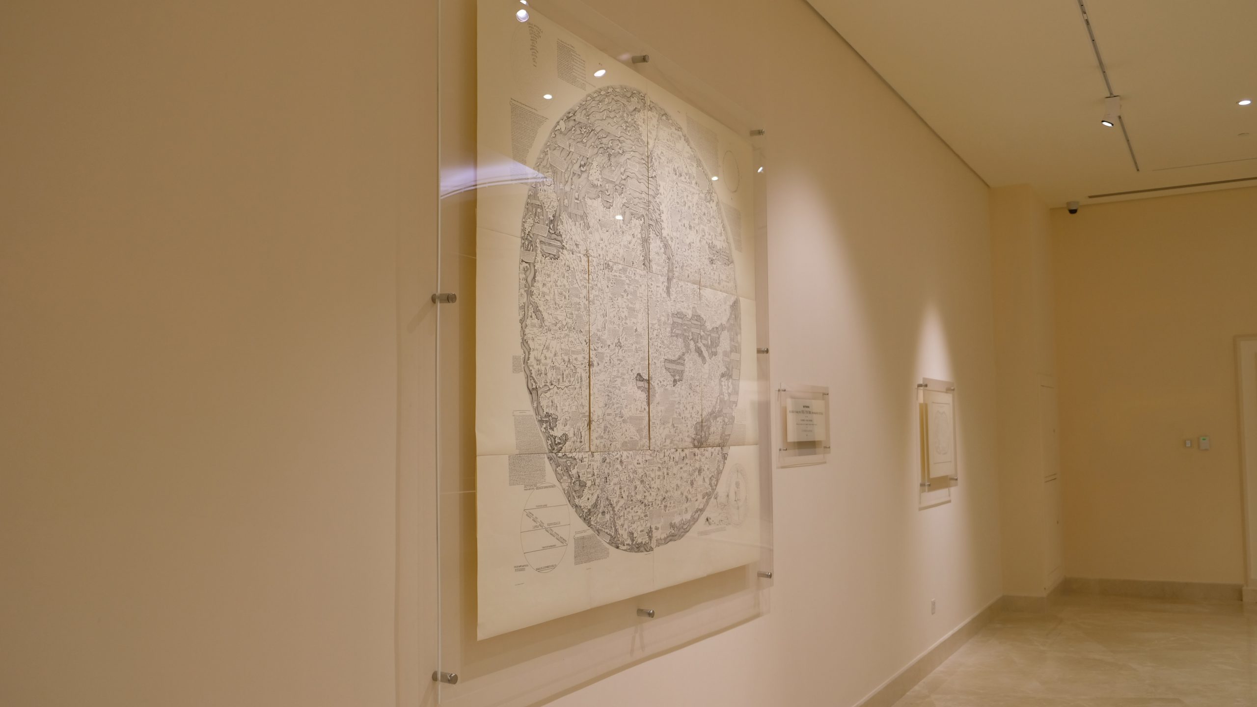
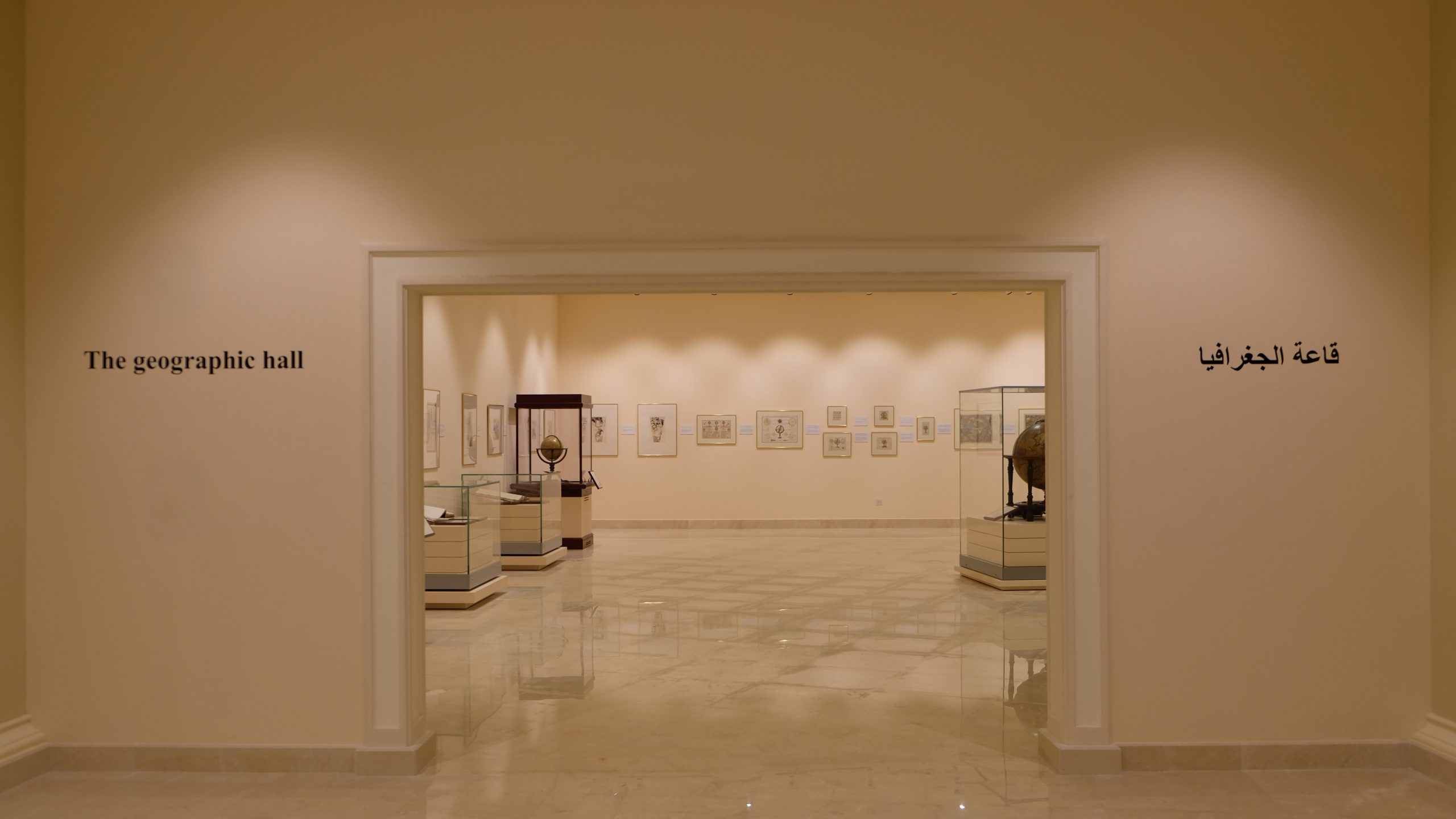
This section contains 167 items, divided between scientific maps, including the oldest version of the world map of Ptolemy, first printed in 1493, and a number of related printed books and manuscripts, together with rare models of the Earth by Blaeu, 1645.